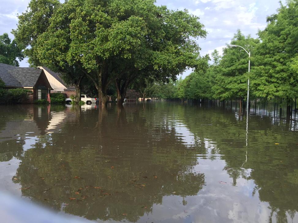
It’s been surreal watching national news coverage of Texas’s flooding from the Memorial Day weekend. My hometown of Houston was hard-hit, especially the southwest side of the 610 Loop. Using Google and Twitter searching, I was able to find some pretty incredible photos and videos of flooding taken by local residents. Here’s a small sampling of what I found.
Drone footage of Meyerland, taken from Chimney Rock south of Braeswood:
Looking east from buildings at Braeswood the the West Loop:
N Braeswood Blvd pic.twitter.com/vKS8dDpBE3
— Dahlia Hatem (@DahliaHatem) May 26, 2015
@KolterSchool Dumfries gate @KPRC2 #houston #meyerland #needanark pic.twitter.com/tei7Y35BGi
— Chris Carville (@ChrisCarville) May 26, 2015
The corner of Dumfries and Runnymeade, near Kolter Elementary:
@kprc2 Meyerland pics pic.twitter.com/aX94SRPwDv
— Chris Carville (@ChrisCarville) May 26, 2015
Looking up Dumfries (the gate to Kolter and Godwin Park is on the right):
@KPRC2 more Meyerland pic.twitter.com/uMYQofXHi1
— Chris Carville (@ChrisCarville) May 26, 2015
Finally, a before/after comparison of the Braes Bayou:
Before/After photos of Meyerland flooding, 10 hrs later #houstonflood More Photos http://t.co/LdbloNna4q #KPRC2 pic.twitter.com/0d8KIv8Ezj
— KPRC 2 Houston (@KPRC2) May 27, 2015
